As a high school teacher and as governor, Tim Walz has tapped the power of geographic information systems, or GIS, to solve complex problems
Gov. Tim Walz used geographic information systems as a schoolteacher. How will that experience come into play if he and Kamala Harris win the White House in November?
Marcia Moreno Báez, Research professor of geospatial technology, The Fletcher School, Tufts University, Rockford Weitz, Professor of Practice & Director, Fletcher Maritime Studies Program, The Fletcher School, Tufts University
6 September 2024
When Minnesota Gov. Tim Walz first learned about geographic information systems, or GIS, as a high school geography teacher in the 1990s, he didn’t need much convincing about how useful it would be.
“I said to my colleagues, ‘This is going to change the world,’” Walz recalled during a conference for professionals who use spatial data technologies, such as GIS and GPS, in July 2024, just weeks before Vice President Kamala Harris selected him as her running mate in the November 2024 presidential election.
As professors of geospatial technology and maritime studies at The Fletcher School of Law and Diplomacy at Tufts University, we can attest that GIS has indeed changed the world. We have seen firsthand its growing importance across multiple sectors and expect that trend to continue.
Began in the classroom
Before entering politics, Walz taught geography – first in Alliance, Nebraska, and later at West High School in Mankato, Minnesota – where he was an early adopter of GIS. The technology allows users to visualize, analyze and interpret data through maps.
After attending a National Geographic Summer Institute, Walz introduced his students to GIS, teaching them how to use the tool to combine geographic data with historical events like the Holocaust during World War II. By overlaying layers of information – such as environmental factors like droughts, and geopolitical issues like occupation and colonialism – they were able to identify potential sites for future genocides.
Walz continued to rely on GIS as governor of Minnesota.
“As governor, the ability to use what I knew about mapping to convey complex issues to effect change amongst people is really important,” Walz said at the geospatial conference.
Walz is by no means the only American governor using the data-driven insights of GIS to tackle complex challenges.
Across the United States, GIS has become an indispensable tool for state governments. For example, in California, former Gov. Schwarzenegger promoted the use of GIS as a decision-making tool to combat wildfires and enhance disaster preparedness. Similarly, in Massachusetts, former Gov. Charlie Baker invested in GIS infrastructure and employed this technology to tackle the opioid crisis and expand high-speed internet access to rural areas. These examples are just a glimpse of how GIS is being leveraged in states nationwide to improve public safety, resource management and infrastructure planning.
But what exactly is GIS? And how might Walz’s experience with GIS influence a Harris-Walz administration if the duo prevails in the presidential election on Nov. 5?
A powerful analytical tool
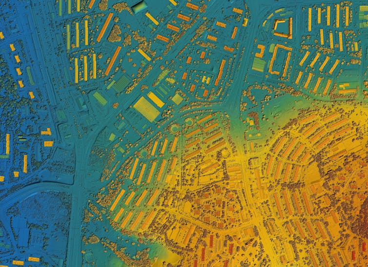
At its core, GIS is a crucial part of geospatial technology. It encompasses tools and techniques used to collect, analyze and manage geographic data. The data is then represented as maps.
Given Walz’s background in geography, it’s no surprise that, as governor, he used it to address some of Minnesota’s most pressing challenges. This was particularly evident during the COVID-19 pandemic. GIS played a pivotal role in enabling the Minnesota Department of Health to collaborate with other national entities. This collaboration resulted in multiple public dashboards that provided key metrics, such as case numbers, hospital capacities and critical supply inventories.
Policy decisions are often shaped by more than just the differing opinions and ambitions within a government. They are also affected by the geographical perspectives that politicians bring to the table.
The significance of GIS isn’t just limited to policy — it extends to addressing some of the most complex challenges we face today, particularly in resource management. Consider oceans, for example, where unclear jurisdictional boundaries, climate change and the vulnerability of coastal communities all pose significant challenges. In that context, GIS and maps are essential. They help us identify and address threats to both people and their livelihoods.
Minnesota also offers extensive maps covering climate, jobs, workforce and the economy.
Future use
With the fall U.S. elections approaching, the new presidential administration will face major challenges, such as reducing greenhouse gas emissions, addressing poverty and resolving global conflicts.
As world affairs grow more complex, combining GIS with advanced technologies like artificial intelligence and big data will be essential for planning and decision-making. The challenge now is to scale this approach to national and international levels, paving the way for a more informed world.
The authors do not work for, consult, own shares in or receive funding from any company or organization that would benefit from this article, and have disclosed no relevant affiliations beyond their academic appointment.
This article is republished from The Conversation under a Creative Commons license.